
Cartography Study using Mapbox
My recent try on Coimbatore Corporation Ward and Zone map as part of my study on cartography techniques using spatial data using Mapbox
Cartography Study using Mapbox

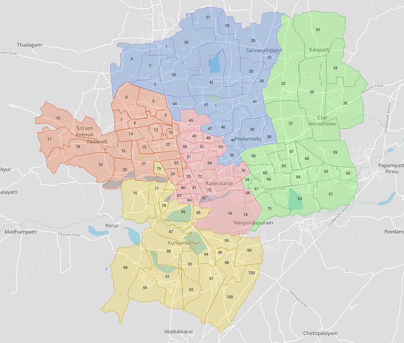
Coimbatore Corporation Map ( Zones and Wards)
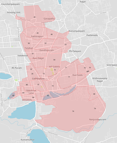
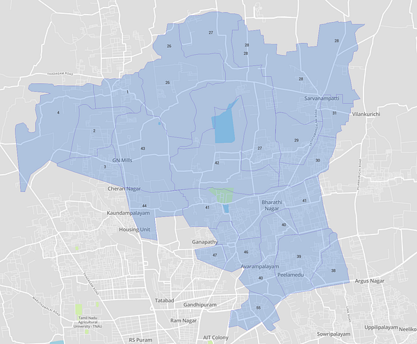
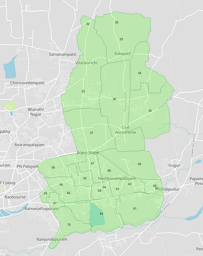
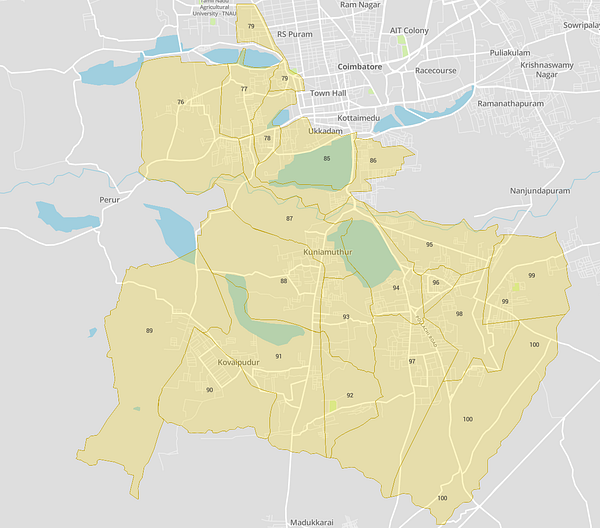

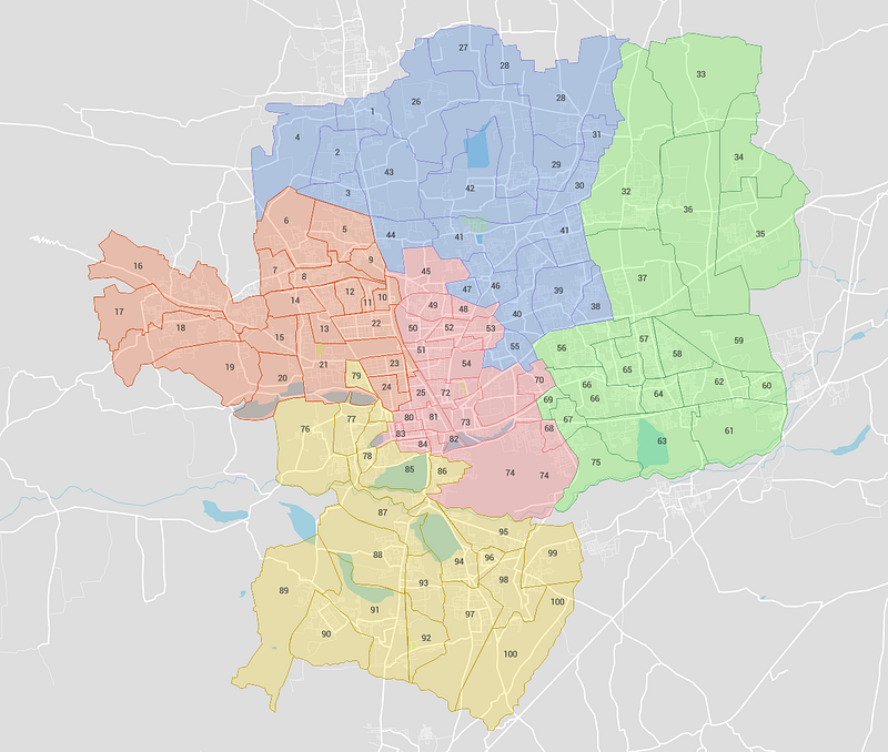
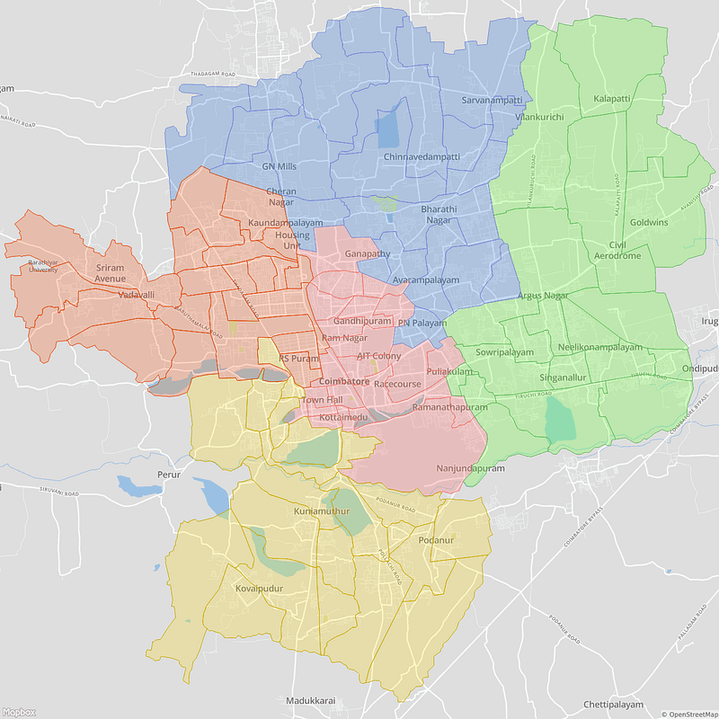
My recent try on Coimbatore Corporation Ward and Zone map as part of my study on cartography techniques using spatial data using Mapbox
Tools used: Mapbox Studio
Data: https://github.com/datameet/Municipal_Spatial_Data
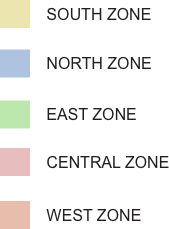
Coimbatore is a Municipal corporation administered by the Coimbatore Municipal Corporation and is the administrative headquarters of Coimbatore district. Coimbatore was established as the capital of Coimbatore district in 1804 and in 1866 it was accorded municipality status. In 1981, Coimbatore was elevated as a municipal corporation. The city is divided into five administrative zones — East, West, North, South and Central, each further subdivided into 20 wards.
[© Mapbox](https://www.mapbox.com/about/maps/) [© OpenStreetMap](http://www.openstreetmap.org/about/)